
 Print-Friendly Version
 Pour toutes informations en français, s'il vous plaît contactez Jenn ŕ francais@torontooutdoorclub.com.
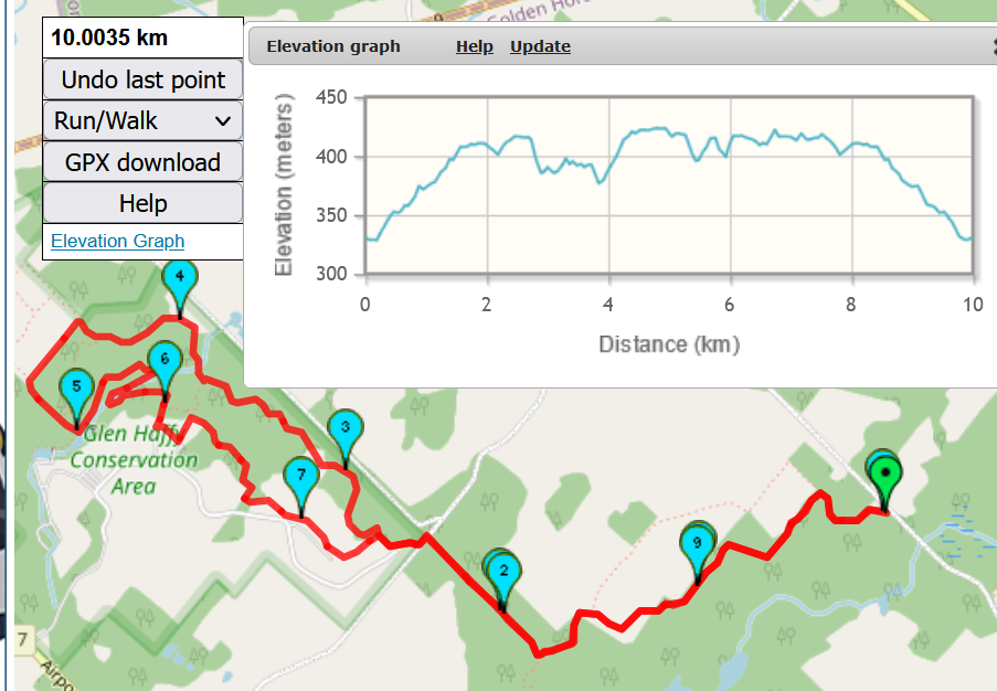
39. GLEN HAFFY (11.5 KM) (12/16/2023)
PRE-REGISTRATION REQUIRED: Once you've reviewed the event details, and decided you'd like to join us, you MUST sign up at the bottom of this page.You are STRONGLY encouraged to read this page in its entirety before signing up. If you'd like to attend, we ask that you abide by our rules and procedures as a time/cost saving process (with an end result of keeping membership free and lower cost events).
| The Basics: |
| ||||||
| Event Type: | Hike | ||||||
| Event Location: | Just south of 18571 Centreville Creek Rd, Caledon East | ||||||
| Date(s) & Time: | Sat, Dec 16 2023 10:00 AM (Carpool Departure: 8:45 AM *log in for location*) | ||||||
| Registration Cut Off: | Fri, Dec 15 2023 6:25:00 AM | ||||||
| Event Duration: | less than 4 hours (plus 1.25 hour for carpool each way) | ||||||
| Difficulty Rating: | D3: Moderate | ||||||
| Event Coordinator(s): |
Fletcher
You must be logged in to get the Event Coordinator contact information. | ||||||
| Member Cost: | Voluntary Donation Only (See Below) | ||||||
| Participant Info: | |||||||
| Who's Invited: | Members Only, 18 And Older Only | ||||||
| Maximum Group Size: | 25 | ||||||
| Minimum Group Size: | 4 | ||||||
| Number Registered So Far: | 22 (To see who's signed up, log in to the Member Area) | ||||||
| Are Dogs Permitted: | No | ||||||
| Itinerary: | |||||||
THE CARPOOL LEAVES VAUGHAN METROPOLITAN CENTRE STATION AT 8:45 AM So, this is my first time leading this
hike with the TOC. Please bring a lunch and at least 1-2 Litres of water. We'll find a place to stop for lunch along the trail. If you cannot walk the entire distance please do not sign up for this hike.
Those willing to drive, will
get first priority on the wait list, should they
be
needed.
For those of you choosing to meet at the event location, instead of the carpool, please ensure that you come on time I’ve set the maximum event count at 1 as I
don’t want to add anyone to the event until I have
enough carpool drivers to accommodate passengers.
| |||||||
| |||||||
| How to Get There: | |||||||
| Event Directions: | The closest approximate address 18571
Centreville Creek
Road, Caledon East -
43°56'18.2"N 79°54'48.1"W,
Please note that my event directions are
from
VAUGHAN METROPOLITAN CENTRE STATION. If you get to the stop sign at Finnerty Side Rd then you've gone about 2 KM too far. POTENTIAL WASHROOM STOP - 17250 York Regional Rd 27
INTERACTIVE DRIVING INSTRUCTIONS
MAP OF PARKING AREA
PICTURE OF MEETING LOCATION
| ||||||
| Carpool to Event Distance (round trip): | 120Km | ||||||
| Carpool Departure Time: | 8:45 AM | ||||||
| Carpool Location: | Log in for location | ||||||
| Carpool Directions: | Log in for directions | ||||||
| Carpool Cost: | Approximate vehicle expense for this event is $30.96 (calculated at total Km * $0.258, effective Friday, June 26, 2026). This is based on $0.08/Km for maintenance, plus current gas price divide by 9. Your event coordinator will confirm exactly how much money is required from each person. | ||||||
| Notes: | |||||||
|
Please ensure that you check the 'TTC service updates website' for any potential closures. Please arrive on time, I will turn off my cell phone once the hike begins.
| |||||||
| Voluntary Donation: ( What is this?) Suggested donation amount for this event is: $2.00/Person. | |||||||
Cancellation/Partial Attendance: Please review our Cancellation Policy carefully! | |||||||